Project Anton, powered by Anton Tech

Project Anton acts as a Global Transboudary Disease Alert system, it predicts Soil Organic Carbon (SOC) levels in the soil from hyperspectral images and provide aerial mapping of fields. A platform where parallel processes run at the same time to achieve the same goal.
Our Services
Project Anton harness the power of computer vision, machine learning and use of geospatial data to facilitate data-driven decision making.
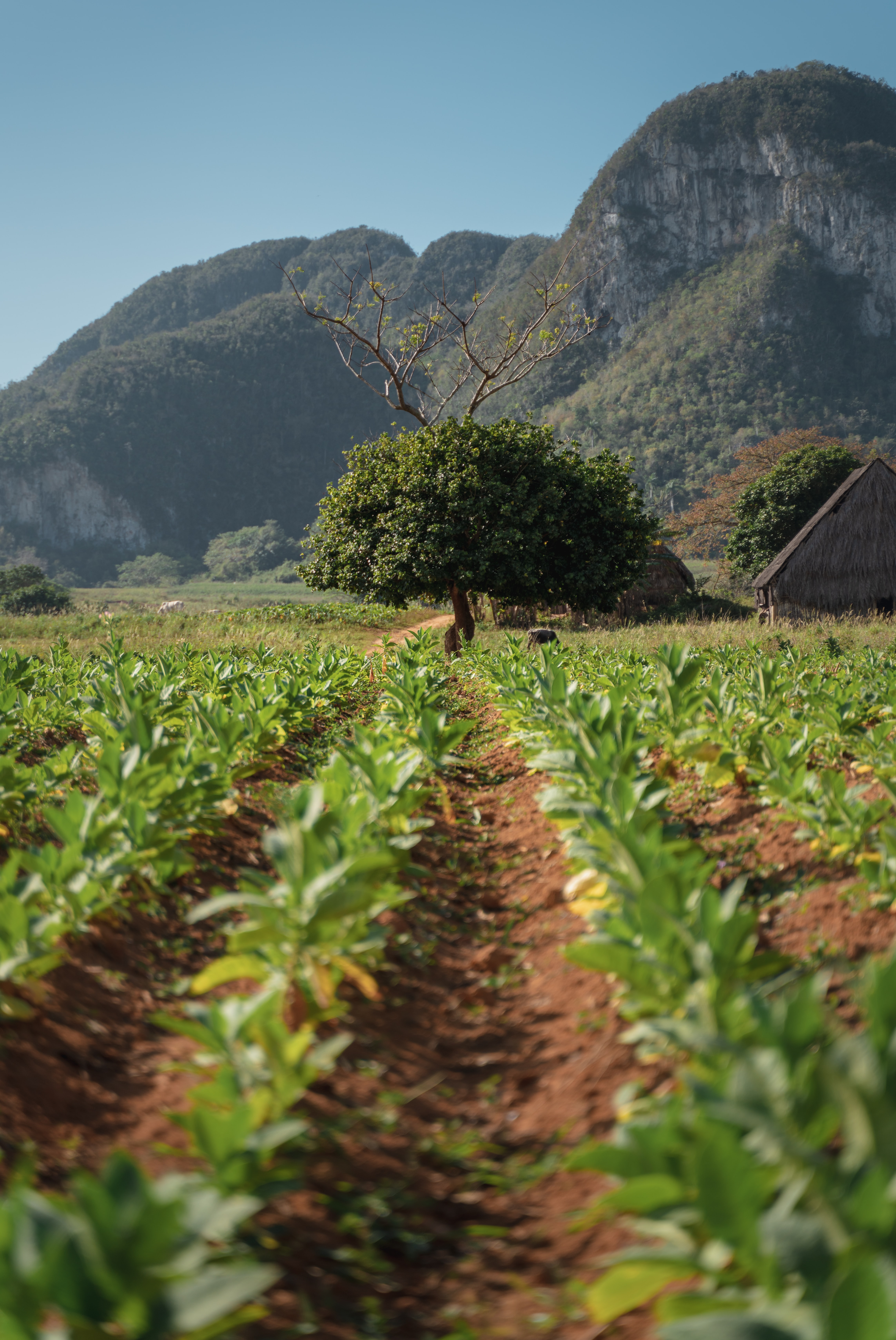
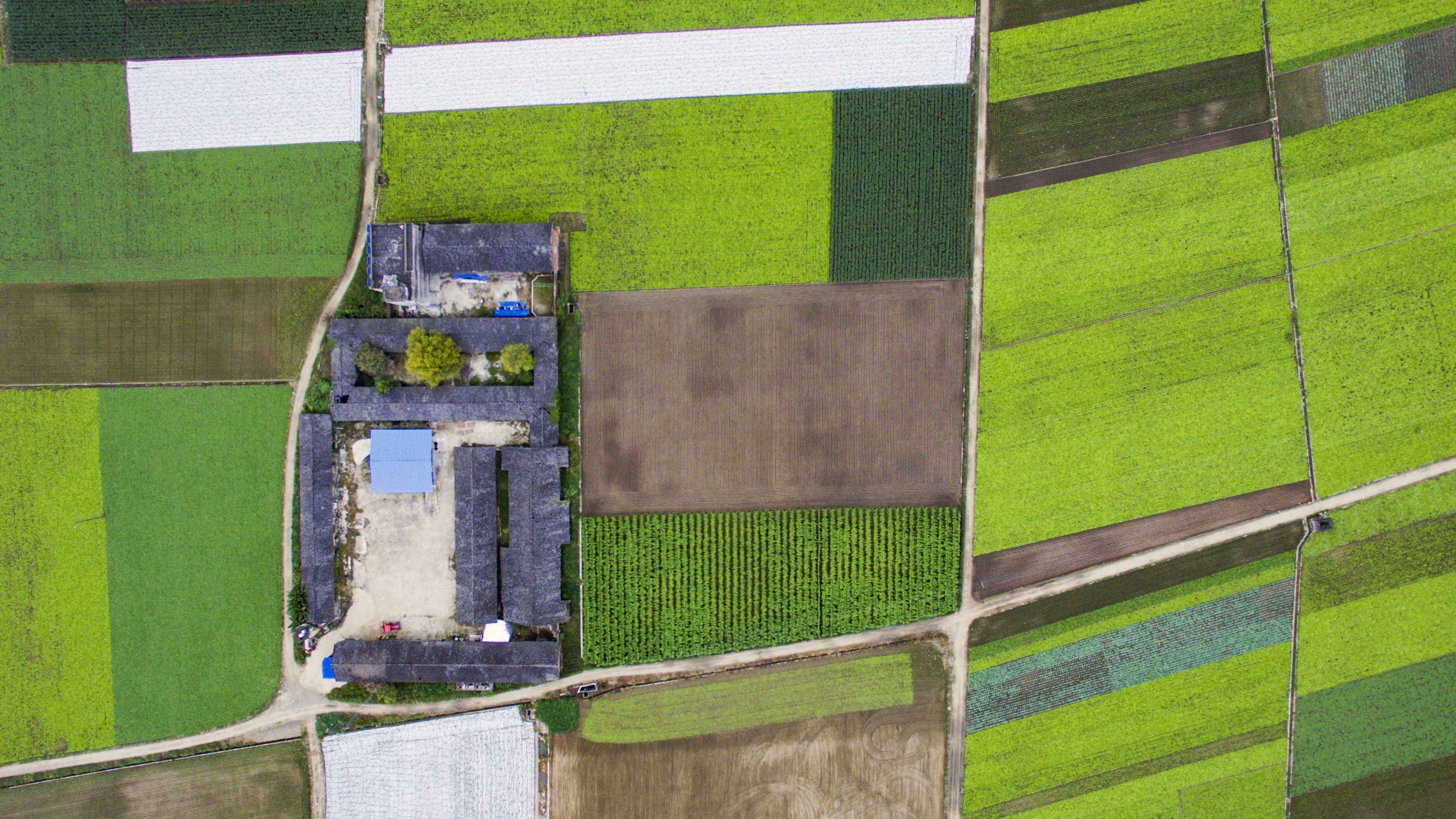
Field Mapping
Geospatial mapping of fields enables pharmaceuticals to know where problems are located and to identify the most effective treatment options to provide to the farmers. Project Anton also fills the void that currently exists in the lack of high quality data available commercially for researchers and government that relates to pests and disease movements and hotspots as well as accurate mapping of the field, field mapping puts together a dataset of updated data and the state of fields in the country hence helping making informed decisions
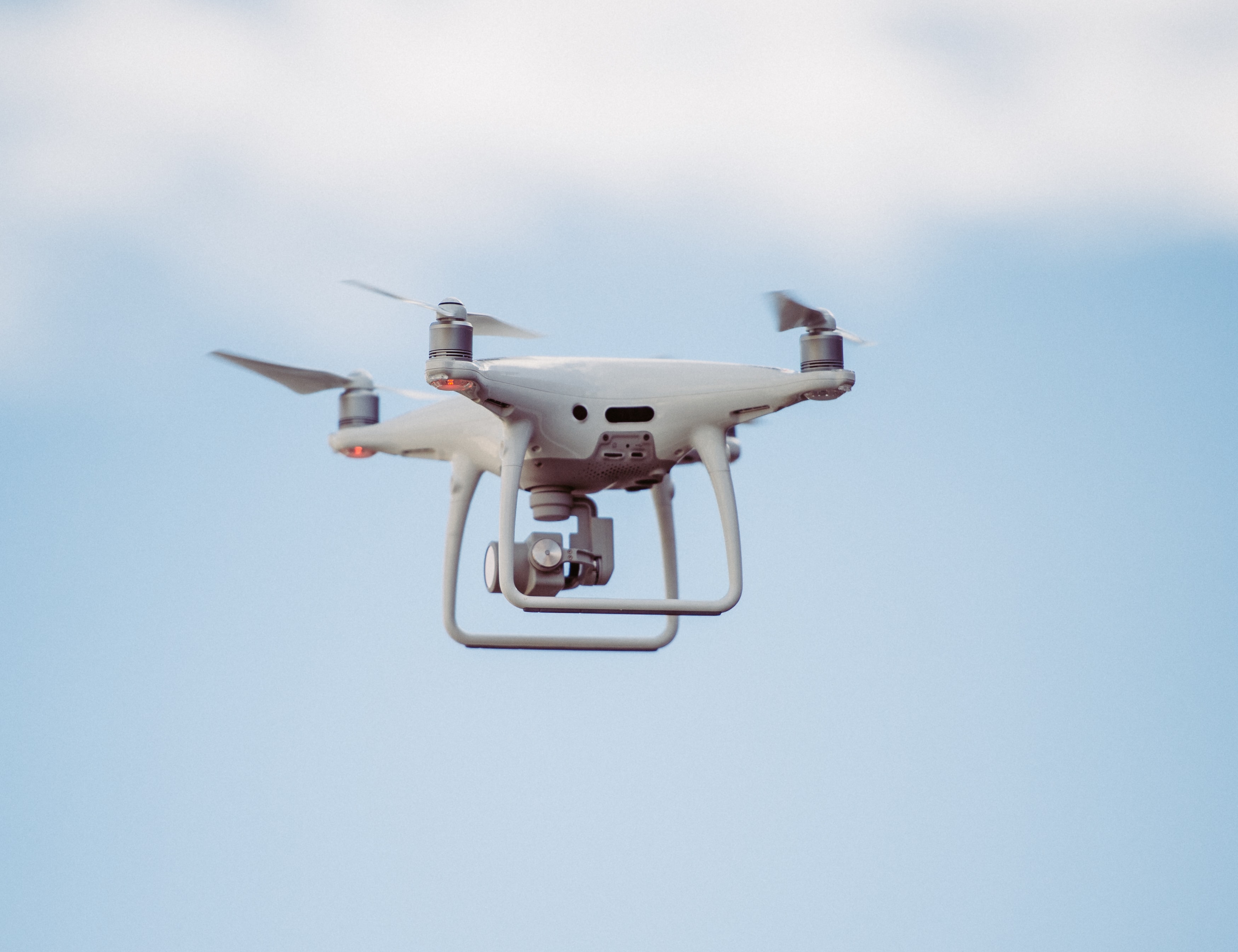
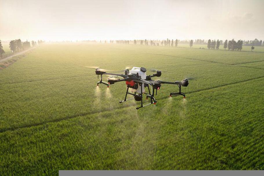
Treatment Spraying
Project Anton offers treatment spraying through autonomous UAVs. The UAVs are equipped with cameras and sensors to map out the field and autonomously spray the recommended treatments.
Centralized Data Analytics
The analytics dashboard is a powerful tool that allows one to see the data they need in a single place. The reporting dashboard enables agric agents, researchers, companies and other stakeholders to visualize Key Performance Indicators (KPIs). We have varied these indicators to offer differenct statistics and analytics to address numerous needs and wants of our stakeholders.
Realtime crop and animal disease detection
Realtime detection enables farmers to quickly detect and identify diseases which increases the farming outputs and returns, it significantly reduces the time it takes to apply the required interventions once recommendations have been made- increasing farming yield in the process.
The Google Maps of Farming
The Google Maps of Farming with the difference being there is a recurring network effect caused by interactions of all the parties involved thus making it a one-stop solution for all the farmers and resolving everyone's issues and contributing to the country's economy.


Meet The Team
The team is led by highly skilled and experienced personnel to deliver the solution you need.
Tumo Kgabeng
Chief Technology Officer
Tlamelo Makati
Research lead
Kesego Mokgosi
Chief Executive Officer

Sneak peak into the future
Addressing the Vision 2036 pillars
Botswana vision 2036 aims to transform the coutry from an upper-middle-income country to high-income country by 2036 and Project Anton addresses the pillars to help the country achieve the mission. Project Anton strives towards a Sustainable Economic Developmet, Human and social development and sustainable environment.
Our Partners
Our partners are industry leaders with a proven track record of excellence.
By partnering with them, we ensure that our customers receive top-quality products and services.


Let's get in touch
Contact us for any questions or inquiries.
